
Annapolis Area - Symbols are shown on an 11 x 17 inch map of the Annapolis Area (PDF 1 megabyte)
Annapolis Area - Symbols are shown on a 8.5 x 11 inch map of the Annapolis Area (PDF 1 megabyte)
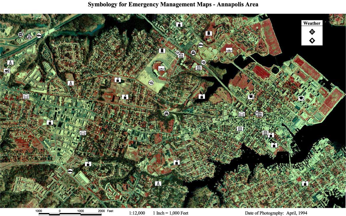
Annapolis Area - Symbols are shown on an aerial photo of the Annapolis Area (JPEG 300 kilobytes)
Annapolis Area - Symbols are shown on an aerial photo of the Annapolis Area (PDF 4 megabytes)
Baltimore County, MD - Symbols are used in a dynamic map of Baltimore County, MD
Instructions
| User Profile
| Incidents Evaluation
| Natural Events Evaluation
Operations Evaluation
| Infrastructures Evaluation (Part 1)
| Infrastructures Evaluation (Part 2)
Damage/Operational Evaluation
| Maps
| Final Submission